2011
SO8651 : Land subject to development threat
taken 13 years ago, near to Whittington, Worcestershire, England
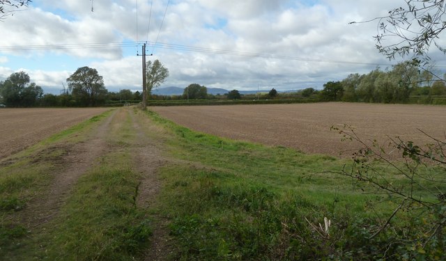
Land subject to development threat
This bit of farmland sandwiched between the housing on the old Norton barracks and the A4440 with St. Peters estate beyond will all go when the new South Worcester plans are realised.
 Map © Crown Copyright")
TIP: Click the map for more Large scale mapping
- Grid Square
- SO8651, 102 images (more nearby 🔍)
- Photographer
- Andrew Darge (more nearby)
- Date Taken
- Wednesday, 5 October, 2011 (more nearby)
- Submitted
- Saturday, 14 January, 2012
- Subject Location
-
OSGB36:
 SO 8637 5198 [10m precision]
WGS84: 52:9.9550N 2:12.0414W - Camera Location
-
OSGB36: SO 8649 5202
- View Direction
- West-southwest (about 247 degrees)