2012

TL4582 : Byall Fen

taken 12 years ago, near to Wardy Hill, Cambridgeshire, England

This is 1 of 2 images, with title Byall Fen in this square
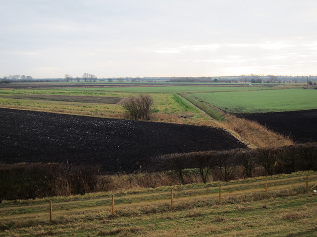
Byall Fen
Byall Fen
Looking down from the Ouse Washes bank.

Creative Commons Licence [Some Rights Reserved]   © Copyright Hugh Venables and licensed for reuse under this Creative Commons Licence.
Geographical Context: Farm, Fishery, Market Gardening other tags: Arable Farming Fens Ditch Click a tag, to view other nearby images.
This photo is linked from: Automatic Clusters: · Bank [5] · Byall Fen [4] · Looking [2] Other Photos: · Byall Fen flood · Ditch and grassland · Byall Fen wet grassland Title Clusters: · Byall Fen [2] ·
1:50,000 Modern Day Landranger(TM) Map © Crown Copyright
+
+
1:50,000 Modern Day Landranger(TM) Map © Crown Copyright
TIP: Click the map for more Large scale mapping
Grid Square
TL4582, 20 images   (more nearby 🔍)
Photographer
Hugh Venables   (more nearby)
Date Taken
Sunday, 15 January, 2012   (more nearby)
Submitted
Sunday, 15 January, 2012
Subject Location
OSGB36: geotagged! TL 4585 8256 [10m precision]
WGS84: 52:25.2951N 0:8.6023E
Camera Location
OSGB36: geotagged! TL 4579 8270
View Direction
South-southeast (about 157 degrees)
Clickable map
+
NW N NE
W Go E
SW S SE
Image classification(about): Geograph
This page has been viewed about 38 times
You are not logged in login | register