2012
TQ1243 : Bridleway east of High Ashes Farm
taken 12 years ago, near to Holmbury st Mary, Surrey, England
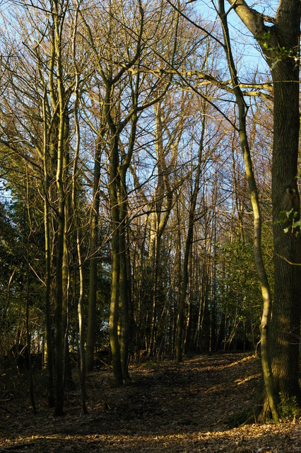
Bridleway east of High Ashes Farm
 Map © Crown Copyright")
TIP: Click the map for more Large scale mapping
- Grid Square
- TQ1243, 22 images (more nearby 🔍)
- Photographer
- Christopher Hilton (more nearby)
- Date Taken
- Sunday, 15 January, 2012 (more nearby)
- Submitted
- Sunday, 15 January, 2012
- Subject Location
-
OSGB36:
 TQ 1270 4379 [10m precision]
WGS84: 51:10.9345N 0:23.3370W - Camera Location
-
OSGB36: TQ 1273 4374
- View Direction
- North-northwest (about 337 degrees)