2012
SE3331 : Skelton Grange
taken 12 years ago, 3 km from Rothwell, Leeds, England
This is 1 of 6 images, with title starting with Skelton Grange in this square
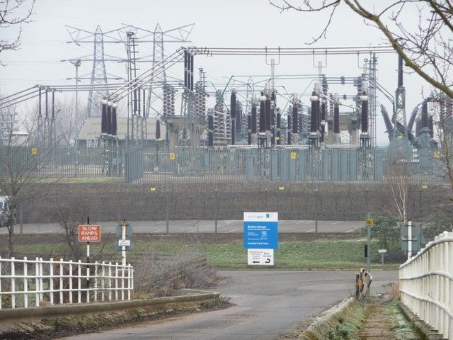
Skelton Grange
The blue sign refers only to an environmental centre, but there was once a coal-fired power station here.
 Map © Crown Copyright")
TIP: Click the map for more Large scale mapping
- Grid Square
- SE3331, 71 images (more nearby 🔍)
- Photographer
- Christine Johnstone (more nearby)
- Date Taken
- Sunday, 15 January, 2012 (more nearby)
- Submitted
- Monday, 16 January, 2012
- Subject Location
-
OSGB36:
 SE 3319 3122 [10m precision]
WGS84: 53:46.5758N 1:29.8713W - Camera Location
-
OSGB36: SE 3308 3110
- View Direction
- Northeast (about 45 degrees)