2012
SO8204 : Southern arm of Orchard Road, Ebley
taken 12 years ago, near to King's Stanley, Gloucestershire, England
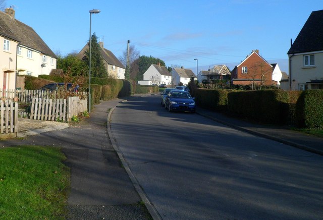
Southern arm of Orchard Road, Ebley
Viewed from the Ebley Road end. Ahead, the course of Orchard Road is a large loop on the southern side of a railway line.
 Map © Crown Copyright")
TIP: Click the map for more Large scale mapping
- Grid Square
- SO8204, 142 images (more nearby 🔍)
- Photographer
- Jaggery (more nearby)
- Date Taken
- Sunday, 15 January, 2012 (more nearby)
- Submitted
- Tuesday, 17 January, 2012
- Subject Location
-
OSGB36:
 SO 823 048 [100m precision]
WGS84: 51:44.4972N 2:15.4649W - Camera Location
-
OSGB36: SO 822 047
- View Direction
- North-northeast (about 22 degrees)