2006
SD7147 : Trig point and transmitter on Waddington Fell
taken 18 years ago, 4 km SSE of Newton, Lancashire, England
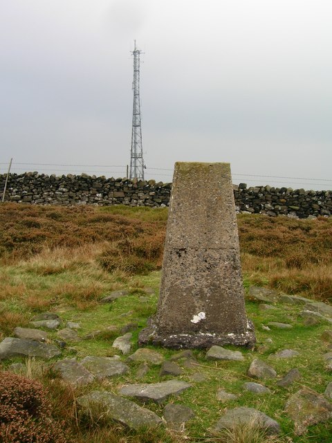
Trig point and transmitter on Waddington Fell
 Map © Crown Copyright")
TIP: Click the map for more Large scale mapping
- Grid Square
- SD7147, 33 images (more nearby 🔍)
- Photographer
- John H Darch (more nearby)
- Date Taken
- Sunday, 15 October, 2006 (more nearby)
- Submitted
- Tuesday, 17 January, 2012
- Subject Location
-
OSGB36:
 SD 7147 4749 [10m precision]
WGS84: 53:55.3652N 2:26.1549W - Camera Location
-
OSGB36: SD 7139 4751
- View Direction
- East-southeast (about 112 degrees)