2012
SD9231 : Rocks above Gorple Upper Reservoir
taken 12 years ago, 4 km E of Hurstwood, Lancashire, England
This is 1 of 2 images, with title Rocks above Gorple Upper Reservoir in this square
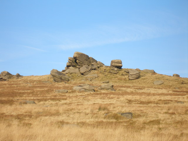
Rocks above Gorple Upper Reservoir
 Map © Crown Copyright")
TIP: Click the map for more Large scale mapping
- Grid Square
- SD9231, 32 images (more nearby 🔍)
- Photographer
- John Slater (more nearby)
- Date Taken
- Monday, 16 January, 2012 (more nearby)
- Submitted
- Tuesday, 17 January, 2012
- Subject Location
-
OSGB36:
 SD 9241 3177 [10m precision]
WGS84: 53:46.9320N 2:7.0000W - Camera Location
-
OSGB36: SD 9229 3170
- View Direction
- East-northeast (about 67 degrees)