2012
TQ2079 : Ramillies Road
taken 12 years ago, near to Chiswick, Hounslow, England
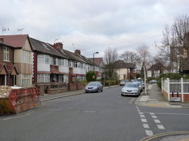
Ramillies Road
Inter-war housing, linked to, but not part of Bedford Park.
 Map © Crown Copyright")
TIP: Click the map for more Large scale mapping
- Grid Square
- TQ2079, 221 images (more nearby 🔍)
- Photographer
- Alan Murray-Rust (more nearby)
- Date Taken
- Tuesday, 10 January, 2012 (more nearby)
- Submitted
- Wednesday, 18 January, 2012
- Subject Location
-
OSGB36:
 TQ 2081 7914 [10m precision]
WGS84: 51:29.8979N 0:15.6594W - Camera Location
-
OSGB36: TQ 2082 7910
- View Direction
- North-northwest (about 337 degrees)