2012
NT2727 : Craig Douglas Forest
taken 12 years ago, 4 km NNE of Dryhope, Scottish Borders, Scotland
This is 1 of 2 images, with title Craig Douglas Forest in this square
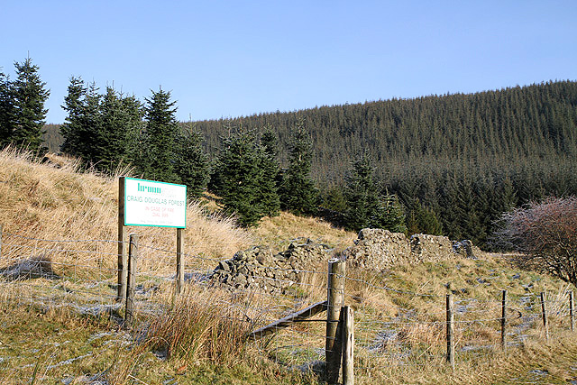
Craig Douglas Forest
This was viewed from the Blackhouse to Muttonhall road.
 Map © Crown Copyright")
TIP: Click the map for more Large scale mapping
- Grid Square
- NT2727, 25 images (more nearby 🔍)
- Photographer
- Walter Baxter (more nearby)
- Date Taken
- Monday, 16 January, 2012 (more nearby)
- Submitted
- Wednesday, 18 January, 2012
- Subject Location
-
OSGB36:
 NT 2750 2790 [10m precision]
WGS84: 55:32.3645N 3:9.0231W - Camera Location
-
OSGB36: NT 2734 2776
- View Direction
- Northeast (about 45 degrees)