2012
SE2254 : Approaching Long Liberty farm
taken 12 years ago, 3 km from Kettlesing Bottom, North Yorkshire, England
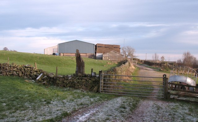
Approaching Long Liberty farm
Farm buildings at Long Liberty farm in the Haverah Park area to the west of Harrogate.
 Map © Crown Copyright")
TIP: Click the map for more Large scale mapping
- Grid Square
- SE2254, 35 images (more nearby 🔍)
- Photographer
- Gordon Hatton (more nearby)
- Date Taken
- Tuesday, 17 January, 2012 (more nearby)
- Submitted
- Thursday, 19 January, 2012
- Subject Location
-
OSGB36:
 SE 2294 5480 [10m precision]
WGS84: 53:59.3245N 1:39.0977W - Camera Location
-
OSGB36: SE 2291 5477
- View Direction
- Northeast (about 45 degrees)