2012
SY9599 : Sturminster Marshall, Moor Lane
taken 12 years ago, near to Sturminster Marshall, Dorset, England
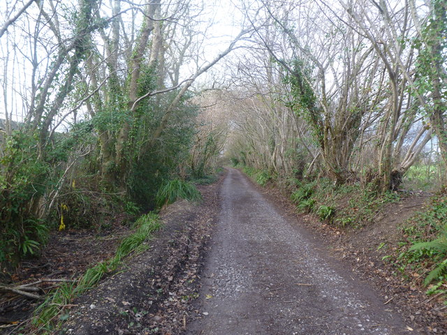
Sturminster Marshall, Moor Lane
A by-way from near White Mill to High Street; out of sight, left, according to OS but invisible behind high shuttering, a trout farm; right, SY9599 : Sturminster Marshall, golf course.
 Map © Crown Copyright")
TIP: Click the map for more Large scale mapping
- Grid Square
- SY9599, 25 images (more nearby 🔍)
- Photographer
- Mike Faherty (more nearby)
- Date Taken
- Thursday, 19 January, 2012 (more nearby)
- Submitted
- Thursday, 19 January, 2012
- Subject Location
-
OSGB36:
 SY 9533 9952 [10m precision]
WGS84: 50:47.7135N 2:4.0576W - Camera Location
-
OSGB36: SY 9533 9952
- View Direction
- Northwest (about 315 degrees)