2012
SO9179 : A491 curving around Lower Clent
taken 12 years ago, near to Clent, Worcestershire, England
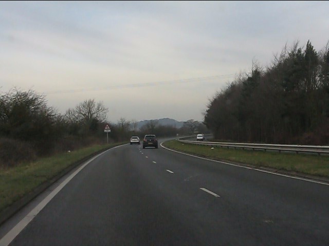
A491 curving around Lower Clent
 Map © Crown Copyright")
TIP: Click the map for more Large scale mapping
- Grid Square
- SO9179, 43 images (more nearby 🔍)
- Photographer
- Peter Whatley (more nearby)
- Date Taken
- Tuesday, 17 January, 2012 (more nearby)
- Submitted
- Saturday, 21 January, 2012
- Subject Location
-
OSGB36:
 SO 9153 7974 [10m precision]
WGS84: 52:24.9354N 2:7.5575W - Camera Location
-
OSGB36: SO 9171 7961
- View Direction
- Northwest (about 315 degrees)