2012
SS9707 : Ruined shed
taken 12 years ago, near to Butterleigh, Devon, England
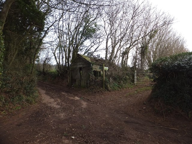
Ruined shed
The shed stands at a crossroads; the paved road turns through a right angle, and is joined by a bridleway (to Shutelake Farm) and footpath (to Birchen Oak at SS9708 : Footpath near Birchen Oak)
 Map © Crown Copyright")
TIP: Click the map for more Large scale mapping
- Grid Square
- SS9707, 31 images (more nearby 🔍)
- Photographer
- David Smith (more nearby)
- Date Taken
- Friday, 20 January, 2012 (more nearby)
- Submitted
- Saturday, 21 January, 2012
- Subject Location
-
OSGB36:
 SS 9753 0781 [10m precision]
WGS84: 50:51.6414N 3:27.4393W - Camera Location
-
OSGB36: SS 9749 0783
- View Direction
- East-southeast (about 112 degrees)