2012
SX7173 : Blackadon Down
taken 12 years ago, near to Buckland in The Moor, Devon, England
This is 1 of 2 images, with title Blackadon Down in this square
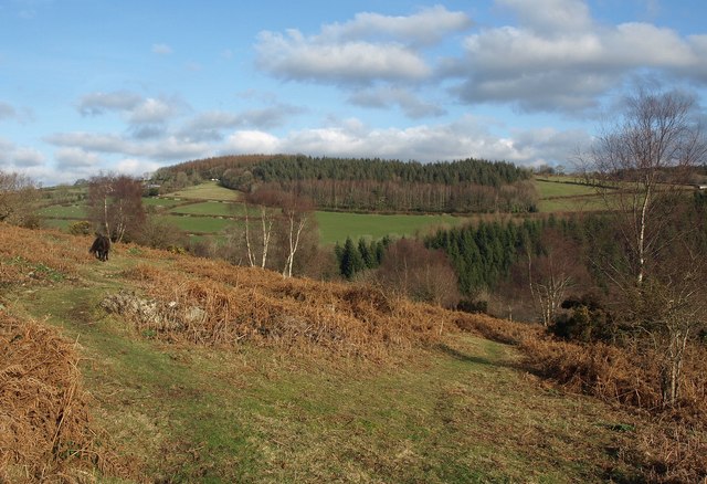
Blackadon Down
A pony grazes beside a path on the upper slopes above the Webburn valley. On the far side are the Barton and Beara Plantations, surrounded by green fields.
 Map © Crown Copyright")
TIP: Click the map for more Large scale mapping
- Grid Square
- SX7173, 29 images (more nearby 🔍)
- Photographer
- Derek Harper (more nearby)
- Date Taken
- Sunday, 15 January, 2012 (more nearby)
- Submitted
- Saturday, 21 January, 2012
- Subject Location
-
OSGB36:
 SX 7138 7324 [10m precision]
WGS84: 50:32.6844N 3:48.9987W - Camera Location
-
OSGB36: SX 7138 7323
- View Direction
- Northeast (about 45 degrees)