2012
NT8816 : Junction of Davidson's and Usway Burn
taken 12 years ago, near to Usway Burn [water Feature], Northumberland, Great Britain
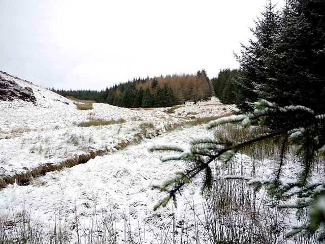
Junction of Davidson's and Usway Burn
 Map © Crown Copyright")
TIP: Click the map for more Large scale mapping
- Grid Square
- NT8816, 21 images (more nearby 🔍)
- Photographer
- Andrew Curtis (more nearby)
- Date Taken
- Friday, 20 January, 2012 (more nearby)
- Submitted
- Sunday, 22 January, 2012
- Subject Location
-
OSGB36:
 NT 8878 1638 [10m precision]
WGS84: 55:26.4700N 2:10.7339W - Camera Location
-
OSGB36: NT 8877 1634
- View Direction
- North-northeast (about 22 degrees)