2012
SS5944 : Track to Broad Park Farm
taken 12 years ago, near to Patchole, Devon, England
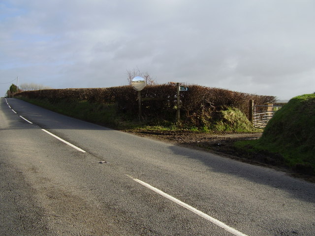
Track to Broad Park Farm
Possibly an old green lane.
 Map © Crown Copyright")
TIP: Click the map for more Large scale mapping
- Grid Square
- SS5944, 9 images (more nearby 🔍)
- Photographer
- Anthony Vosper (more nearby)
- Date Taken
- Sunday, 22 January, 2012 (more nearby)
- Submitted
- Monday, 23 January, 2012
- Subject Location
-
OSGB36:
 SS 5994 4406 [10m precision]
WGS84: 51:10.7142N 4:0.3079W - Camera Location
-
OSGB36: SS 5992 4407
- View Direction
- East-southeast (about 112 degrees)