2011
SU8853 : Blackwater Valley Path
taken 12 years ago, near to Ash Vale, Surrey, England
This is 1 of 2 images, with title Blackwater Valley Path in this square
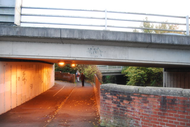
Blackwater Valley Path
The Blackwater Valley Path is a 23 mile long walk from Rowhill near Aldershot to the River Loddon, following the River Blackwater.
See other images of Blackwater Valley Path
See other images of Blackwater Valley Path
 Map © Crown Copyright")
TIP: Click the map for more Large scale mapping
- Grid Square
- SU8853, 85 images (more nearby 🔍)
- Photographer
- N Chadwick (more nearby)
- Date Taken
- Sunday, 30 October, 2011 (more nearby)
- Submitted
- Monday, 23 January, 2012
- Subject Location
-
OSGB36:
 SU 8854 5374 [10m precision]
WGS84: 51:16.5562N 0:43.9233W - Camera Location
-
OSGB36: SU 8853 5375
- View Direction
- South-southeast (about 157 degrees)