2012
TQ3091 : Russell Road
taken 12 years ago, near to Wood Green, Haringey, England
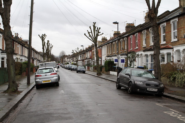
Russell Road
Looking towards the junction with Whittington Road from beside the Elim Pentecostal Church. The housing dates to circa 1880.
 Map © Crown Copyright")
TIP: Click the map for more Large scale mapping
- Grid Square
- TQ3091, 242 images (more nearby 🔍)
- Photographer
- Martin Addison (more nearby)
- Date Taken
- Friday, 20 January, 2012 (more nearby)
- Submitted
- Tuesday, 24 January, 2012
- Subject Location
-
OSGB36:
 TQ 3056 9191 [10m precision]
WGS84: 51:36.6535N 0:6.9523W - Camera Location
-
OSGB36: TQ 3059 9196
- View Direction
- South-southwest (about 202 degrees)