2012
SX5594 : Dry Lane
taken 12 years ago, near to Meldon, Devon, England
This is 1 of 2 images, with title Dry Lane in this square
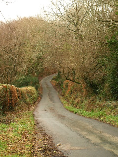
Dry Lane
Looking in the other direction from SX5594 : Dry Lane, as the lane dips across the Hookmoor Brook. SX5594 : Field entrance by Dry Lane was taken from the same spot.
 Map © Crown Copyright")
TIP: Click the map for more Large scale mapping
- Grid Square
- SX5594, 25 images (more nearby 🔍)
- Photographer
- Derek Harper (more nearby)
- Date Taken
- Friday, 20 January, 2012 (more nearby)
- Submitted
- Tuesday, 24 January, 2012
- Subject Location
-
OSGB36:
 SX 5548 9489 [10m precision]
WGS84: 50:44.1356N 4:2.9613W - Camera Location
-
OSGB36: SX 5540 9490
- View Direction
- EAST (about 90 degrees)