2012
SP8153 : End of the line
taken 12 years ago, near to Horton, West Northamptonshire, England
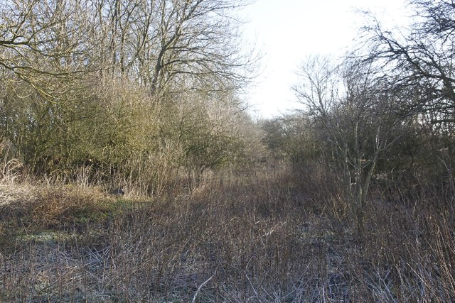
End of the line
Well at least for me it was as the track here was well over grown and nigh on impassable so I took the easy option and walked round the field edge to the footpath. From here the track runs to the Newport Pagnell Road bridge.
 Map © Crown Copyright")
TIP: Click the map for more Large scale mapping
- Grid Square
- SP8153, 44 images (more nearby 🔍)
- Photographer
- Bill Nicholls (more nearby)
- Date Taken
- Saturday, 14 January, 2012 (more nearby)
- Submitted
- Wednesday, 25 January, 2012
- Subject Location
-
OSGB36:
 SP 8142 5354 [10m precision]
WGS84: 52:10.4473N 0:48.6480W - Camera Location
-
OSGB36: SP 81414 53559
- View Direction
- Southeast (about 135 degrees)