2012
SD6119 : Hollin Lane, White Coppice
taken 12 years ago, near to White Coppice, Lancashire, England
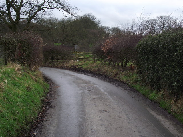
Hollin Lane, White Coppice
Looking south west on a lane leading out of the village.
 Map © Crown Copyright")
TIP: Click the map for more Large scale mapping
- Grid Square
- SD6119, 88 images (more nearby 🔍)
- Photographer
- philandju (more nearby)
- Date Taken
- Wednesday, 25 January, 2012 (more nearby)
- Submitted
- Wednesday, 25 January, 2012
- Subject Location
-
OSGB36:
 SD 6139 1901 [10m precision]
WGS84: 53:39.9681N 2:35.1490W - Camera Location
-
OSGB36: SD 6141 1904
- View Direction
- Southwest (about 225 degrees)