2012
SO3527 : Perthi-bach Lane
taken 12 years ago, near to Crossway, County of Herefordshire, England
This is 1 of 2 images, with title Perthi-bach Lane in this square
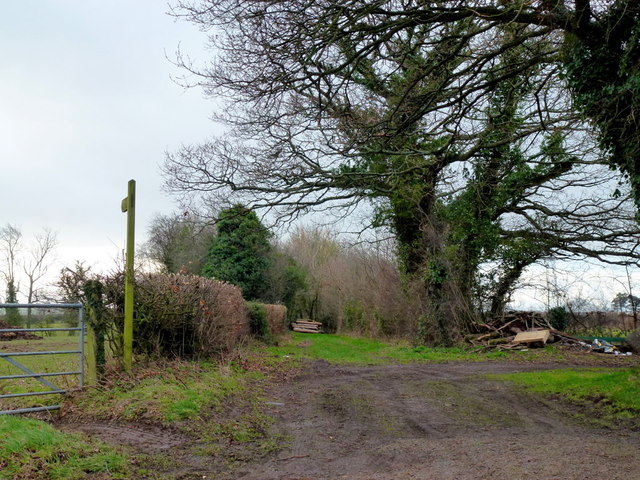
Perthi-bach Lane
The footpath appears to run parallel rather than along the green lane to Upper House Farm.
 Map © Crown Copyright")
TIP: Click the map for more Large scale mapping
- Grid Square
- SO3527, 15 images (more nearby 🔍)
- Photographer
- Jonathan Billinger (more nearby)
- Date Taken
- Saturday, 21 January, 2012 (more nearby)
- Submitted
- Wednesday, 25 January, 2012
- Subject Location
-
OSGB36:
 SO 3536 2718 [10m precision]
WGS84: 51:56.3611N 2:56.5020W - Camera Location
-
OSGB36: SO 3536 2720
- View Direction
- SOUTH (about 180 degrees)