2012
SO8832 : Road into Tewkesbury
taken 12 years ago, near to Tewkesbury, Gloucestershire, England
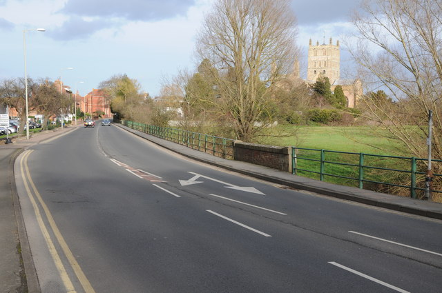
Road into Tewkesbury
The Gloucester Road is the former route of the A38 into Tewkesbury, here it crosses the River Swilgate. Tewkesbury Abbey is on the right.
 Map © Crown Copyright")
TIP: Click the map for more Large scale mapping
- Grid Square
- SO8832, 507 images (more nearby 🔍)
- Photographer
- Philip Halling (more nearby)
- Date Taken
- Sunday, 22 January, 2012 (more nearby)
- Submitted
- Thursday, 26 January, 2012
- Subject Location
-
OSGB36:
 SO 8889 3231 [10m precision]
WGS84: 51:59.3478N 2:9.7920W - Camera Location
-
OSGB36: SO 8884 3221
- View Direction
- North-northeast (about 22 degrees)