2012
SE1035 : Dry stone wall patchwork off Prune Park Lane
taken 12 years ago, near to Wilsden, Bradford, England
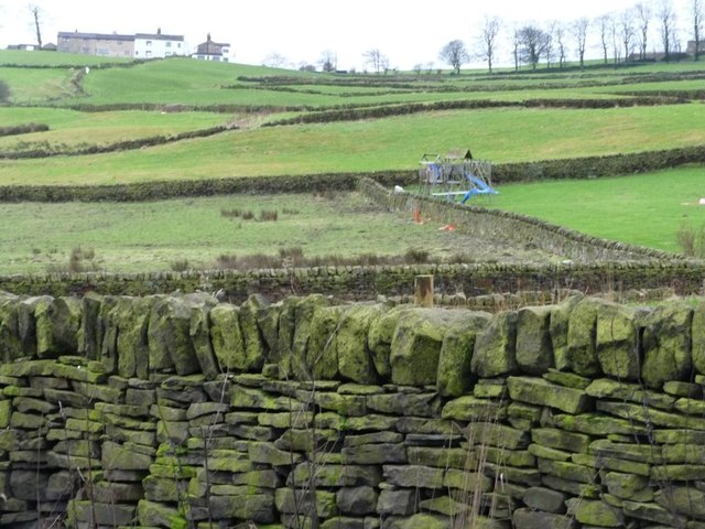
Dry stone wall patchwork off Prune Park Lane
Marking out roads, drives, gardens and fields.
 Map © Crown Copyright")
TIP: Click the map for more Large scale mapping
- Grid Square
- SE1035, 18 images (more nearby 🔍)
- Photographer
- Christine Johnstone (more nearby)
- Date Taken
- Wednesday, 25 January, 2012 (more nearby)
- Submitted
- Thursday, 26 January, 2012
- Subject Location
-
OSGB36:
 SE 104 350 [100m precision]
WGS84: 53:48.7197N 1:50.5850W - Camera Location
-
OSGB36: SE 104 351
- View Direction
- South-southwest (about 202 degrees)