2012
NT4543 : Lugate Water
taken 12 years ago, near to Torsonce, Scottish Borders, Scotland
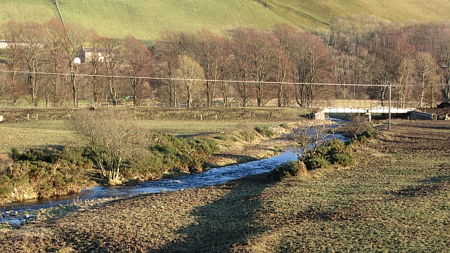
Lugate Water
The burn flows beneath the trackbed of the Waverley Line on the way to the Gala Water.
 Map © Crown Copyright")
TIP: Click the map for more Large scale mapping
- Grid Square
- NT4543, 45 images (more nearby 🔍)
- Photographer
- Richard Webb (more nearby)
- Date Taken
- Monday, 23 January, 2012 (more nearby)
- Submitted
- Thursday, 26 January, 2012
- Subject Location
-
OSGB36:
 NT 4519 4318 [10m precision]
WGS84: 55:40.7399N 2:52.3895W - Camera Location
-
OSGB36: NT 4500 4327
- View Direction
- East-southeast (about 112 degrees)