2012
TQ2289 : Victorian postbox, The Burroughs / St. Josephs Grove, NW4 - royal cipher
taken 12 years ago, near to Hendon, Barnet, England
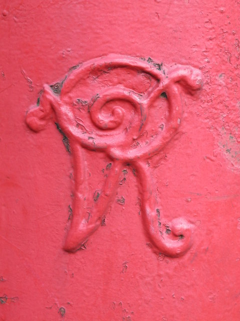
Victorian postbox, The Burroughs / St. Josephs Grove, NW4 - royal cipher
 Map © Crown Copyright")
TIP: Click the map for more Large scale mapping
- Grid Square
- TQ2289, 328 images (more nearby 🔍)
- Photographer
- Mike Quinn (more nearby)
- Date Taken
- Tuesday, 17 January, 2012 (more nearby)
- Submitted
- Saturday, 28 January, 2012
- Subject Location
-
OSGB36:
 TQ 22769 89138 [1m precision]
WGS84: 51:35.2638N 0:13.7579W - Camera Location
-
OSGB36: TQ 22769 89138
- View Direction
- Northeast (about 45 degrees)