2011
TQ7552 : Mill St
taken 12 years ago, near to Loose, Kent, England
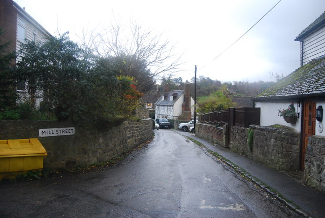
Mill St
Loose is a village some 2 miles south of Maidstone, situated at the head of the Loose Valley. The village and the Loose Valley form the Loose Valley Conservation Area. The village has a number of listed buildings (map at Link ). The fast flowing River Loose which rises near Langley runs through the centre of the village and once supported a paper making industry, evidence of which can still be found today.
The village dates back to Saxon times, and there has been a church here since 832AD.
See other images of Loose
The village dates back to Saxon times, and there has been a church here since 832AD.
See other images of Loose
 Map © Crown Copyright")
TIP: Click the map for more Large scale mapping
- Grid Square
- TQ7552, 157 images (more nearby 🔍)
- Photographer
- N Chadwick (more nearby)
- Date Taken
- Sunday, 27 November, 2011 (more nearby)
- Submitted
- Sunday, 29 January, 2012
- Subject Location
-
OSGB36:
 TQ 7561 5212 [10m precision]
WGS84: 51:14.4737N 0:30.8661E - Camera Location
-
OSGB36: TQ 7560 5211
- View Direction
- East-northeast (about 67 degrees)