2012
ST1100 : Towards Curscombe Farm
taken 12 years ago, near to Lower Cheriton, Devon, England
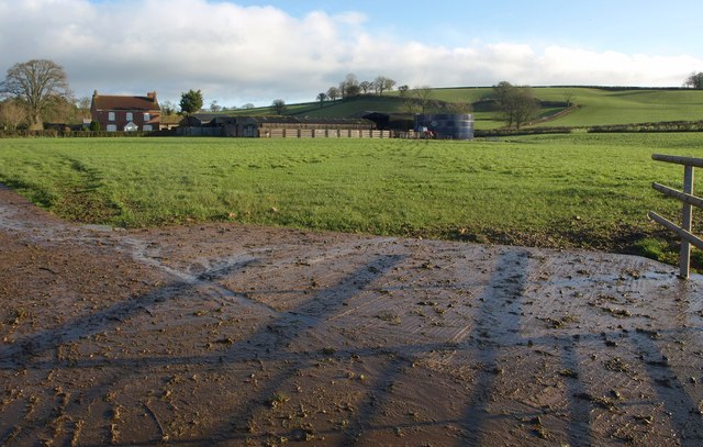
Towards Curscombe Farm
A view across a concrete field entrance from the lane from Feniton. Apart from the slurry tank on the right, all the visible structures at the farm are in ST1101.
 Map © Crown Copyright")
TIP: Click the map for more Large scale mapping
- Grid Square
- ST1100, 21 images (more nearby 🔍)
- Photographer
- Derek Harper (more nearby)
- Date Taken
- Thursday, 26 January, 2012 (more nearby)
- Submitted
- Sunday, 29 January, 2012
- Subject Location
-
OSGB36:
 ST 1122 0098 [10m precision]
WGS84: 50:48.0932N 3:15.6723W - Camera Location
-
OSGB36: ST 1115 0095
- View Direction
- East-northeast (about 67 degrees)