2012
ST1202 : Field near Hunthay Farm
taken 12 years ago, near to Awliscombe, Devon, England
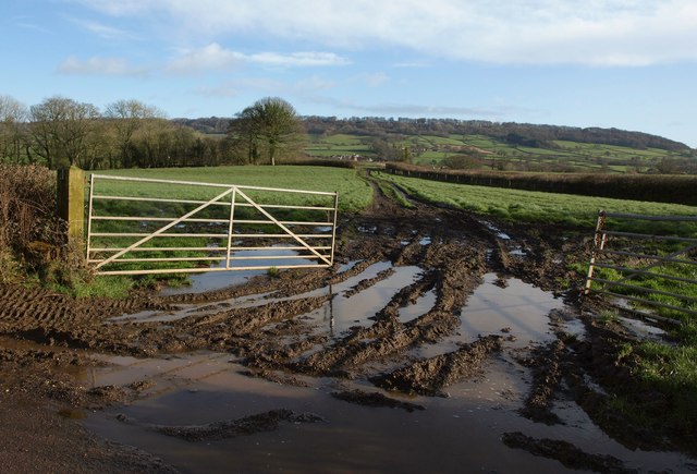
Field near Hunthay Farm
Taken at the foot of the hill shown ST1201 : Lane to the A373, looking to the right, with a very muddy entrance. In the distance is St Cyres' Hill.
 Map © Crown Copyright")
TIP: Click the map for more Large scale mapping
- Grid Square
- ST1202, 22 images (more nearby 🔍)
- Photographer
- Derek Harper (more nearby)
- Date Taken
- Thursday, 26 January, 2012 (more nearby)
- Submitted
- Monday, 30 January, 2012
- Subject Location
-
OSGB36:
 ST 1231 0204 [10m precision]
WGS84: 50:48.6750N 3:14.7597W - Camera Location
-
OSGB36: ST 1222 0200
- View Direction
- East-northeast (about 67 degrees)