2012
SE3839 : A path leading to a disused railway line
taken 12 years ago, near to Thorner, Leeds, England
This is 1 of 2 images, with title starting with A path leading to in this square
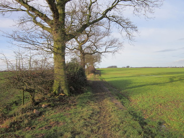
A path leading to a disused railway line
 Map © Crown Copyright")
TIP: Click the map for more Large scale mapping
- Grid Square
- SE3839, 26 images (more nearby 🔍)
- Photographer
- Ian S (more nearby)
- Date Taken
- Saturday, 28 January, 2012 (more nearby)
- Submitted
- Monday, 30 January, 2012
- Subject Location
-
OSGB36:
 SE 3833 3972 [10m precision]
WGS84: 53:51.1383N 1:25.1286W - Camera Location
-
OSGB36: SE 3836 3972
- View Direction
- WEST (about 270 degrees)