2012
NT4344 : Gately Rig and the Lugate Water
taken 12 years ago, 3 km from Killochyett, Scottish Borders, Scotland
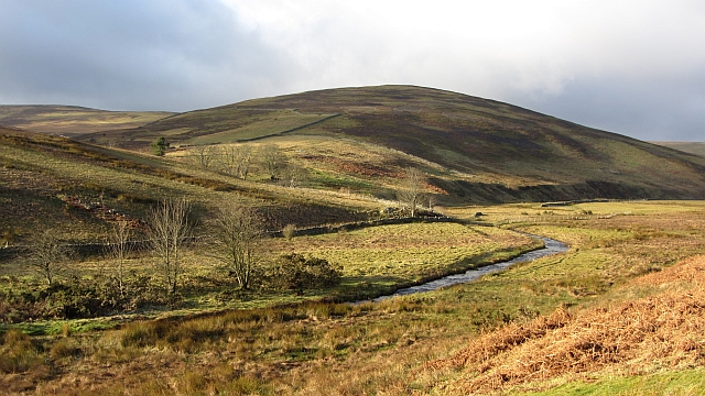
Gately Rig and the Lugate Water
Upstream of Ewes Castle.
 Map © Crown Copyright")
TIP: Click the map for more Large scale mapping
- Grid Square
- NT4344, 20 images (more nearby 🔍)
- Photographer
- Richard Webb (more nearby)
- Date Taken
- Monday, 23 January, 2012 (more nearby)
- Submitted
- Monday, 30 January, 2012
- Subject Location
-
OSGB36:
 NT 4321 4492 [10m precision]
WGS84: 55:41.6641N 2:54.3001W - Camera Location
-
OSGB36: NT 4342 4489
- View Direction
- WEST (about 270 degrees)