2012
SU6738 : Tinker's Lane, Wivelrod
taken 12 years ago, near to Thedden Grange, Hampshire, England
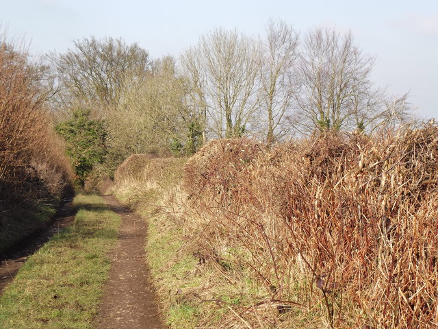
Tinker's Lane, Wivelrod
Old hedgerow-lined lane running north from Wivelrod towards Bentworth. The lane is now a byway and has fortunately not suffered much damage from wheeled vehicles.
 Map © Crown Copyright")
TIP: Click the map for more Large scale mapping
- Grid Square
- SU6738, 11 images (more nearby 🔍)
- Photographer
- Colin Smith (more nearby)
- Date Taken
- Wednesday, 1 February, 2012 (more nearby)
- Submitted
- Thursday, 2 February, 2012
- Subject Location
-
OSGB36:
 SU 6757 3855 [10m precision]
WGS84: 51:8.5343N 1:2.1293W - Camera Location
-
OSGB36: SU 6760 3851
- View Direction
- Northwest (about 315 degrees)