2012
SX5984 : Upper valley of the Black Ridge Brook
taken 12 years ago, near to Little Kneeset [hill or Mountain], Devon, Great Britain
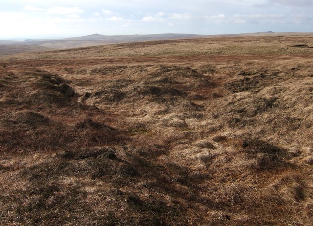
Upper valley of the Black Ridge Brook
A maze of small valleys heading south-west. The main channel of the brook is a little further across on the far side of this area.
 Map © Crown Copyright")
TIP: Click the map for more Large scale mapping
- Grid Square
- SX5984, 4 images (more nearby 🔍)
- Photographer
- Derek Harper (more nearby)
- Date Taken
- Saturday, 28 January, 2012 (more nearby)
- Submitted
- Sunday, 5 February, 2012
- Subject Location
-
OSGB36:
 SX 5990 8492 [10m precision]
WGS84: 50:38.8244N 3:58.9786W - Camera Location
-
OSGB36: SX 5999 8493
- View Direction
- WEST (about 270 degrees)