2012
NT0904 : Frenchland Burn from bridge over the A708 Moffat to Selkirk Road
taken 12 years ago, near to Moffat, Dumfries And Galloway, Scotland
This is 1 of 2 images, with title Frenchland Burn from bridge over the A708 Moffat to Selkirk Road in this square
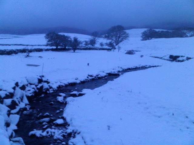
Frenchland Burn from bridge over the A708 Moffat to Selkirk Road
Taken only slightly later in the day than Link on a much more wintry day.
 Map © Crown Copyright")
TIP: Click the map for more Large scale mapping
- Grid Square
- NT0904, 14 images (more nearby 🔍)
- Photographer
- Alan O'Dowd (more nearby)
- Date Taken
- Saturday, 4 February, 2012 (more nearby)
- Submitted
- Sunday, 5 February, 2012
- Subject Location
-
OSGB36:
 NT 0990 0495 [10m precision]
WGS84: 55:19.8191N 3:25.3052W - Camera Location
-
OSGB36: NT 0988 0491
- View Direction
- North-northeast (about 22 degrees)