2012
ST0307 : A373 at Stoneyford
taken 12 years ago, near to Cullompton, Devon, England
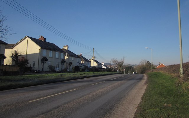
A373 at Stoneyford
The main road from Honiton approaching Cullompton, with a ribbon development of semis on the south side of the road, facing farmland on the north before the road reaches the first house on the right.
 Map © Crown Copyright")
TIP: Click the map for more Large scale mapping
- Grid Square
- ST0307, 23 images (more nearby 🔍)
- Photographer
- Derek Harper (more nearby)
- Date Taken
- Friday, 3 February, 2012 (more nearby)
- Submitted
- Monday, 6 February, 2012
- Subject Location
-
OSGB36:
 ST 0323 0737 [10m precision]
WGS84: 50:51.4631N 3:22.5745W - Camera Location
-
OSGB36: ST 0328 0736
- View Direction
- West-northwest (about 292 degrees)