2012
NR4074 : Margadale River, Islay
taken 12 years ago, near to Bunnahabhain, Islay, Argyll And Bute, Scotland
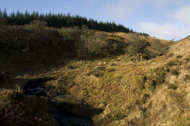
Margadale River, Islay
 Map © Crown Copyright")
TIP: Click the map for more Large scale mapping
- Grid Square
- NR4074, 8 images (more nearby 🔍)
- Photographer
- Becky Williamson (more nearby)
- Date Taken
- Monday, 6 February, 2012 (more nearby)
- Submitted
- Tuesday, 7 February, 2012
- Subject Location
-
OSGB36:
 NR 4017 7413 [10m precision]
WGS84: 55:53.3989N 6:9.4261W - Camera Location
-
OSGB36: NR 4027 7411
- View Direction
- West-northwest (about 292 degrees)