2012
SE4109 : Farmland near Grimethorpe
taken 12 years ago, near to Grimethorpe, Barnsley, England
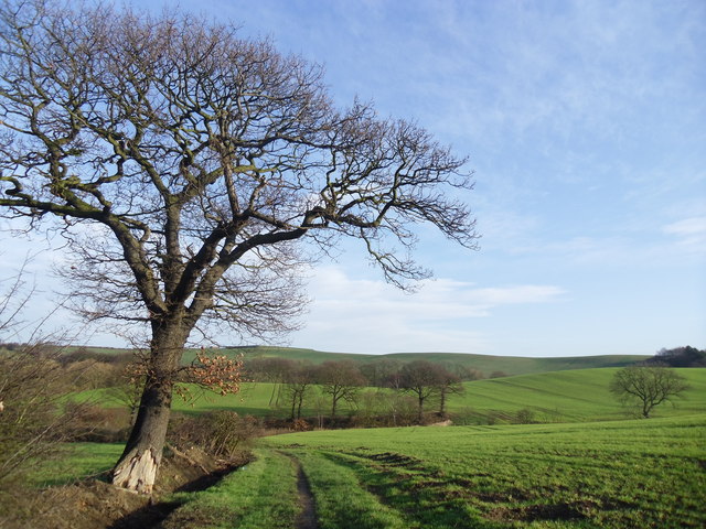
Farmland near Grimethorpe.
Along the Barnsley boundary walk.
 Map © Crown Copyright")
TIP: Click the map for more Large scale mapping
- Grid Square
- SE4109, 29 images (more nearby 🔍)
- Photographer
- steven ruffles (more nearby)
- Date Taken
- Friday, 27 January, 2012 (more nearby)
- Submitted
- Tuesday, 7 February, 2012
- Subject Location
-
OSGB36:
 SE 4193 0912 [10m precision]
WGS84: 53:34.6205N 1:22.0932W - Camera Location
-
OSGB36: SE 4191 0907
- View Direction
- North-northeast (about 22 degrees)