2011
TL4660 : Cleared area
taken 12 years ago, near to Chesterton, Cambridgeshire, England
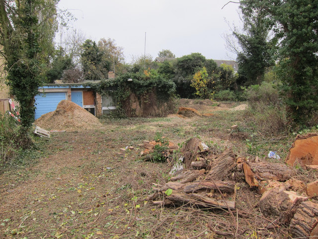
Cleared area
An overgrown area with a small building in Chesterton. TL4660 : New houses in Chesterton is to the left and this area will probably look similar soon.
 Map © Crown Copyright")
TIP: Click the map for more Large scale mapping
- Grid Square
- TL4660, 245 images (more nearby 🔍)
- Photographer
- Hugh Venables (more nearby)
- Date Taken
- Saturday, 12 November, 2011 (more nearby)
- Submitted
- Tuesday, 7 February, 2012
- Subject Location
-
OSGB36:
 TL 4677 6013 [10m precision]
WGS84: 52:13.1899N 0:8.8267E - Camera Location
-
OSGB36: TL 4675 6013
- View Direction
- East-northeast (about 67 degrees)