2012
SK8305 : Braunston Road
taken 12 years ago, near to Braunston-in-Rutland, Rutland, England
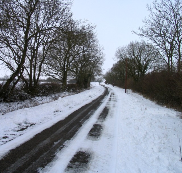
Braunston Road
 Map © Crown Copyright")
TIP: Click the map for more Large scale mapping
- Grid Square
- SK8305, 36 images (more nearby 🔍)
- Photographer
- Andrew Tatlow (more nearby)
- Date Taken
- Sunday, 5 February, 2012 (more nearby)
- Submitted
- Tuesday, 7 February, 2012
- Subject Location
-
OSGB36:
 SK 8338 0583 [10m precision]
WGS84: 52:38.6288N 0:46.1480W - Camera Location
-
OSGB36: SK 8352 0571
- View Direction
- Northwest (about 315 degrees)