2012
SO6100 : Alvington meadows
taken 12 years ago, near to Alvington, Gloucestershire, England
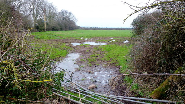
Alvington meadows
Severn floodplain land east of Alvington Court.
 Map © Crown Copyright")
TIP: Click the map for more Large scale mapping
- Grid Square
- SO6100, 7 images (more nearby 🔍)
- Photographer
- Jonathan Billinger (more nearby)
- Date Taken
- Wednesday, 8 February, 2012 (more nearby)
- Submitted
- Wednesday, 8 February, 2012
- Subject Location
-
OSGB36:
 SO 6105 0055 [10m precision]
WGS84: 51:42.1399N 2:33.9012W - Camera Location
-
OSGB36: SO 6102 0060
- View Direction
- Southeast (about 135 degrees)