2012
SY4694 : Monarch's Way off Pymore Rd
taken 12 years ago, near to Bradpole, Dorset, England
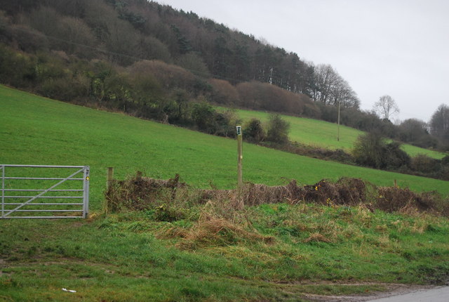
Monarch's Way off Pymore Rd
The Monarch's Way is based on the route taken by King Charles II during his escape after defeat by Cromwell in the final battle of the Civil Wars at Worcester in 1651, when for six weeks the 21-year-old was hotly pursued by Parliamentary troops. It takes in Boscobel (the Royal Oak Tree), Stratford upon Avon, the Cotswolds, Mendips and the South Coast from Charmouth to Shoreham. The total route is 615 miles. The route is signposted by a crown in a tree (Royal Oak) and ship.
Website: Link
Wikipedia: Link
See other images of Monarch's Way
Website: Link
Wikipedia: Link
See other images of Monarch's Way
 Map © Crown Copyright")
TIP: Click the map for more Large scale mapping
- Grid Square
- SY4694, 28 images (more nearby 🔍)
- Photographer
- N Chadwick (more nearby)
- Date Taken
- Sunday, 1 January, 2012 (more nearby)
- Submitted
- Wednesday, 8 February, 2012
- Subject Location
-
OSGB36:
 SY 4697 9414 [10m precision]
WGS84: 50:44.6659N 2:45.1780W - Camera Location
-
OSGB36: SY 4697 9416
- View Direction
- South-southeast (about 157 degrees)