2012
SD9962 : Ordnance Survey Cut Mark
taken 12 years ago, near to Linton, North Yorkshire, England
This is 1 of 2 images, with title Ordnance Survey Cut Mark in this square
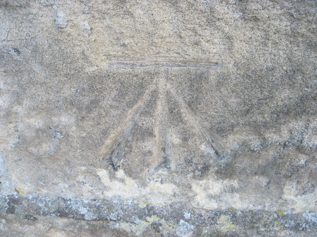
Ordnance Survey Cut Mark
This can be found on the wall of the Village Hall.
 Map © Crown Copyright")
TIP: Click the map for more Large scale mapping
- Grid Square
- SD9962, 185 images (more nearby 🔍)
- Photographer
- Peter Wood (more nearby)
- Date Taken
- Wednesday, 8 February, 2012 (more nearby)
- Submitted
- Wednesday, 8 February, 2012
- Subject Location
-
OSGB36:
 SD 99812 62944 [1m precision]
WGS84: 54:3.7465N 2:0.2619W