2012
SD7781 : Blea Moor viewed from Fell Close
taken 12 years ago, near to Far Gearstones, North Yorkshire, England
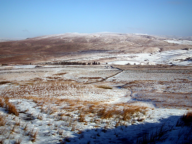
Blea Moor viewed from Fell Close
One of the railway air shaft spoil heaps on Blea Moor is just visible to the left of the view.
 Map © Crown Copyright")
TIP: Click the map for more Large scale mapping
- Grid Square
- SD7781, 14 images (more nearby 🔍)
- Photographer
- John Lucas (more nearby)
- Date Taken
- Tuesday, 7 February, 2012 (more nearby)
- Submitted
- Thursday, 9 February, 2012
- Subject Location
-
OSGB36:
 SD 775 812 [100m precision]
WGS84: 54:13.5882N 2:20.7234W - Camera Location
-
OSGB36: SD 768 776
- View Direction
- North-northeast (about 22 degrees)