2012
SE1544 : Ebor Way at Hag Farm
taken 12 years ago, near to Menston, Bradford, England
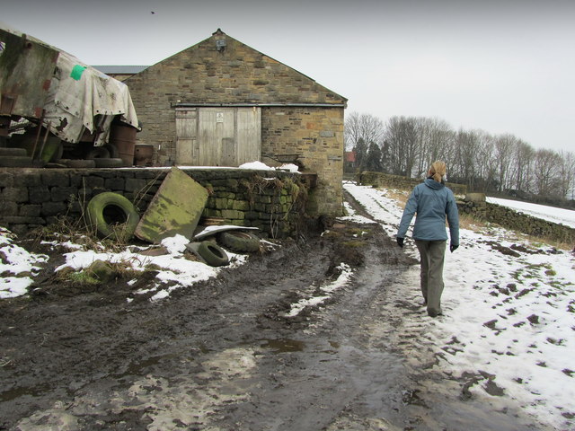
Ebor Way at Hag Farm
Part of the long distance footpath that connects Helmsley and Ilkley - also adopted by the Dales Way Leeds Link.
Hag Farm is on the track between Menston and Burley Woodhead.
Hag Farm is on the track between Menston and Burley Woodhead.
Ebor Way
The Ebor Way is a 70 mile long distance footpath between Helmsley and Ilkley, passing through Hoveringham, Sheriff Hutton, York, Tadcaster, Wetherby, Harewood Estate and Menston.
The route connects the Cleveland Way with the Dales Way, and was devised by the Ebor Acorns Walking Group.
There is a guidebook written by J.K.E. Piggin.
 Map © Crown Copyright")
TIP: Click the map for more Large scale mapping
- Grid Square
- SE1544, 28 images (more nearby 🔍)
- Photographer
- Chris Heaton (more nearby)
- Date Taken
- Tuesday, 7 February, 2012 (more nearby)
- Submitted
- Friday, 10 February, 2012
- Subject Location
-
OSGB36:
 SE 1575 4465 [10m precision]
WGS84: 53:53.8671N 1:45.7082W - Camera Location
-
OSGB36: SE 1576 4463
- View Direction
- Northwest (about 315 degrees)