2012
HP6203 : Qui Ness, Framgord
taken 12 years ago, 3 km from Ramnageo, Unst, Shetland Islands, Scotland
This is 1 of 3 images, with title Qui Ness, Framgord in this square
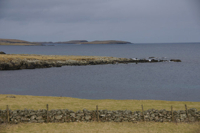
Qui Ness, Framgord
The headland is a geological SSSI. The isle of Balta is in the background.
 Map © Crown Copyright")
TIP: Click the map for more Large scale mapping
- Grid Square
- HP6203, 16 images (more nearby 🔍)
- Photographer
- Mike Pennington (more nearby)
- Date Taken
- Sunday, 12 February, 2012 (more nearby)
- Submitted
- Sunday, 12 February, 2012
- Subject Location
-
OSGB36:
 HP 6218 0319 [10m precision]
WGS84: 60:42.4219N 0:51.7595W - Camera Location
-
OSGB36: HP 6192 0295
- View Direction
- Northeast (about 45 degrees)