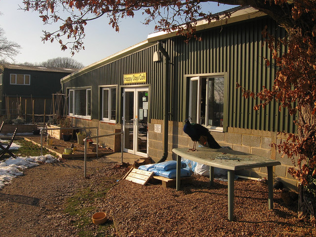
TQ5312 : Happy Days Cafe
taken 12 years ago, near to Golden Cross, East Sussex, England
The parish of Chiddingly lies in the Low Weald bounded by Waldron and Horam to the north; Hellingly to the east; Arlington, Ripe and Chalvington to the south; and Laughton and East Hoathly to the West. It lies in that section of the Low Weald which gradually rises away from the South Downs towards the ridges of high ground based around Heathfield to the north. The soil is Weald clay which drains poorly throughout the winter and spring months whilst the topography is one of small hills of which there are seven within the parish, namely Holmes Hill, Gun Hill, Thunders Hill, Stone Hill, Burgh Hill, Pick Hill and Scrapers Hill. The numerous streams running from them are part of the Cuckmere River's watershed.
The village of Chiddingly is little more than a church, an inn and a few houses and lies roughly in the centre of the parish with much of the population dispersed amongst a number of smaller hamlets. The largest of these is Muddles Green which lies to the immediate south but also includes Holmes Hill, Golden Cross and Nash Street that sprang up along the edge of the old Dicker Common that was enclosed around 1813. Other small hamlets include Gun Hill that grew up around an inn of the same name, Hale Green and Whitesmith.
Although primarily agricultural in nature, iron foundries were working in the area from Roman times to around the end of the 17th century, with the main centres being at Stream Farm in the north west of the parish which operated next to a mill dating back to the 11th century, and Gun Hill to the east. A number of brickmaking industries also operated on the old Dicker Common continuing into the 20th century after enclosure.
The main road running through the parish is the A22 which runs in a virtual straight line across the old Dicker Common from the eastern boundary to Golden Cross. The road was straightened before enclosure when it was turnpiked in the 18th century. An old toll house still survives at Muddles Green. A minor 'C' route runs from Nash Street to Horam following an old droving route, whilst other minor lanes radiate out along with a number of footpaths from the village of Chiddingly towards the smaller hamlets and the neighbouring parish of Waldron.
 Map © Crown Copyright")
- Grid Square
- TQ5312, 110 images (more nearby 🔍)
- Photographer
- Simon Carey (more nearby)
- Date Taken
- Saturday, 11 February, 2012 (more nearby)
- Submitted
- Monday, 13 February, 2012
- Subject Location
-
OSGB36:
 TQ 5305 1293 [10m precision]
WGS84: 50:53.7346N 0:10.4961E - Camera Location
-
OSGB36: TQ 5307 1293
- View Direction
- West-southwest (about 247 degrees)