2012
SX4193 : Lane at Pinnacle
taken 12 years ago, 3 km from Virginstow, Devon, England
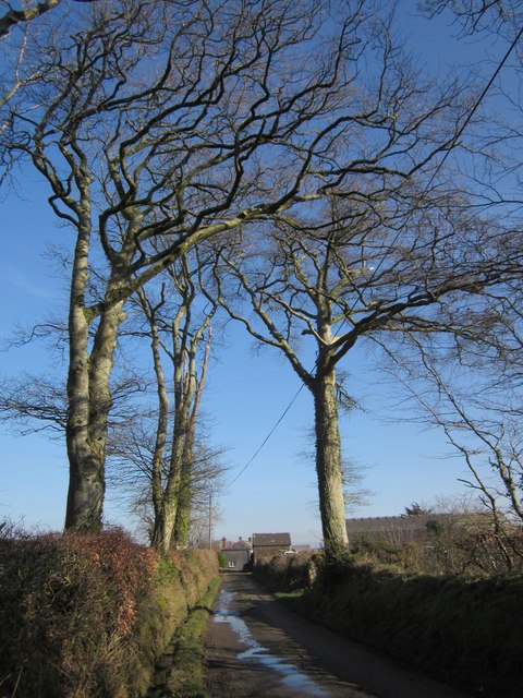
Lane at Pinnacle
Beech trees along the lane, with the farm at Pinnacle in the background. The public road ends around the camera position, the road continuing past the farm as a route with public access.
 Map © Crown Copyright")
TIP: Click the map for more Large scale mapping
- Grid Square
- SX4193, 4 images (more nearby 🔍)
- Photographer
- Derek Harper (more nearby)
- Date Taken
- Wednesday, 8 February, 2012 (more nearby)
- Submitted
- Tuesday, 14 February, 2012
- Subject Location
-
OSGB36:
 SX 4118 9302 [10m precision]
WGS84: 50:42.9032N 4:15.0621W - Camera Location
-
OSGB36: SX 4116 9302
- View Direction
- EAST (about 90 degrees)