2012
SJ2176 : Between Bagillt and Greenfield
taken 12 years ago, near to Whelston, Flintshire/Sir y Fflint, Wales
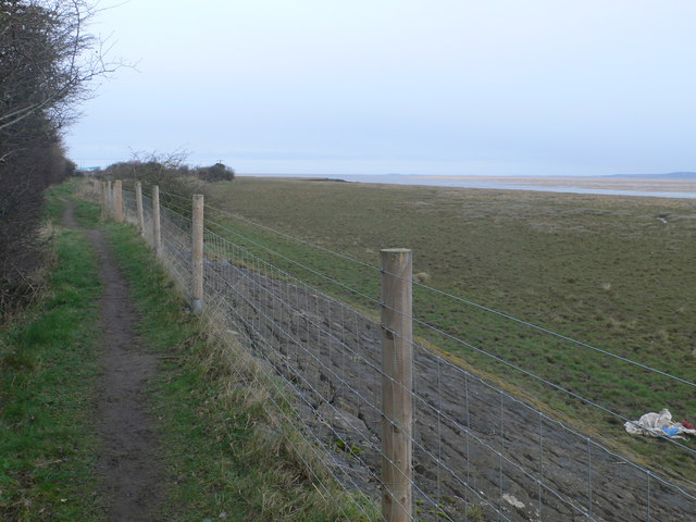
Between Bagillt and Greenfield
The Coast Path with its new fencing, running atop the sea defences.
 Map © Crown Copyright")
TIP: Click the map for more Large scale mapping
- Grid Square
- SJ2176, 60 images (more nearby 🔍)
- Photographer
- Eirian Evans (more nearby)
- Date Taken
- Monday, 13 February, 2012 (more nearby)
- Submitted
- Tuesday, 14 February, 2012
- Subject Location
-
OSGB36:
 SJ 210 766 [100m precision]
WGS84: 53:16.8765N 3:11.1798W - Camera Location
-
OSGB36: SJ 210 766
- View Direction
- Northwest (about 315 degrees)