2012
TM2544 : Path past Waldringfield quarry
taken 12 years ago, near to Martlesham Heath, Suffolk, England
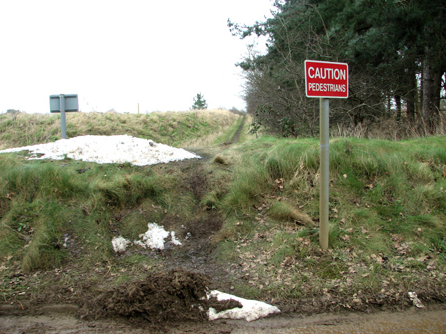
Path past Waldringfield quarry
 Map © Crown Copyright")
TIP: Click the map for more Large scale mapping
- Grid Square
- TM2544, 43 images (more nearby 🔍)
- Photographer
- Evelyn Simak (more nearby)
- Date Taken
- Tuesday, 14 February, 2012 (more nearby)
- Submitted
- Tuesday, 14 February, 2012
- Subject Location
-
OSGB36:
 TM 2597 4454 [10m precision]
WGS84: 52:3.1887N 1:17.6660E - Camera Location
-
OSGB36: TM 2595 4453
- View Direction
- East-northeast (about 67 degrees)