1974
SP1847 : Friday Street Lower Quinton 1974
taken 50 years ago, near to Lower Quinton, Warwickshire, England
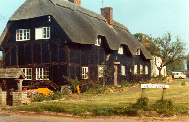
Friday Street Lower Quinton 1974
The current view shows this house painted black and white. Note the old TV aerial.
 Map © Crown Copyright")
TIP: Click the map for more Large scale mapping
- Grid Square
- SP1847, 38 images (more nearby 🔍)
- Photographer
- Roy Hughes (more nearby)
- Date Taken
- Sunday, 5 May, 1974 (more nearby)
- Submitted
- Wednesday, 15 February, 2012
- Subject Location
-
OSGB36:
 SP 1833 4710 [10m precision]
WGS84: 52:7.3148N 1:44.0214W - Camera Location
-
OSGB36: SP 1833 4707
- View Direction
- North-northwest (about 337 degrees)